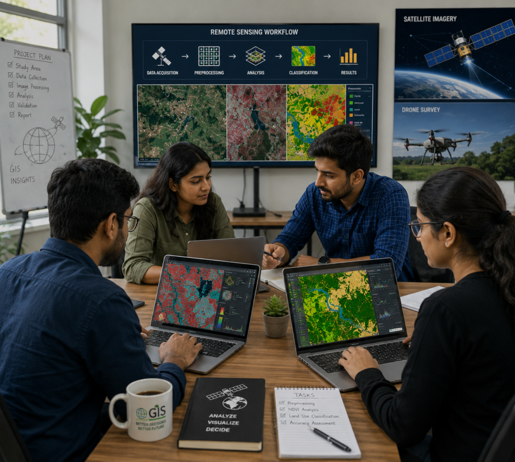
GeoSyntra AI is a modern geospatial technology agency specializing in Remote Sensing, GIS, Drone Mapping, Satellite Data Analysis, and AI-powered spatial intelligence. We help businesses, governments, researchers, and environmental organizations transform complex geospatial data into accurate, actionable insights. Our services include land use mapping, precision agriculture, infrastructure planning, environmental monitoring, disaster management, and custom GIS solutions.
GeoSyntra AI delivers accurate, AI-powered geospatial solutions using satellite imagery, drones, and GIS, providing reliable insights, customized services, timely delivery, and cost-effective results.


We combine strategic understanding, technical precision, and reliable delivery to transform your geospatial requirements into solutions that create measurable value.
Our workflows combine accurate data processing, advanced spatial analysis, and efficient technology to deliver reliable geospatial results for diverse client requirements.

GeosyntraAI delivered highly accurate GIS mapping and spatial analysis within the expected timeline. Their attention to detail and technical expertise were impressive.”

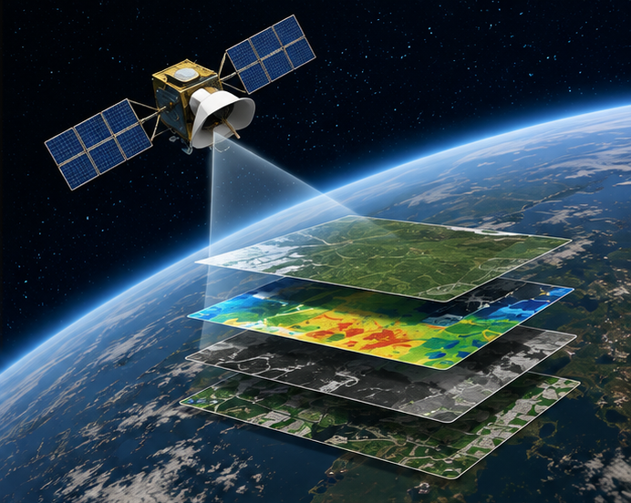
“The satellite image analysis and land-use mapping were excellent. GeoSyntra AI transformed complex geospatial data into clear and useful insights for our project.”

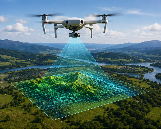
“We were very satisfied with the drone mapping and 3D data processing. The final outputs were accurate, professional, and easy to use.”
“Professional service, accurate results, and excellent communication. GeoSyntra AI is a great partner for remote sensing and geospatial projects.”
— Geospatial Consultant
GeoSyntra AI is a modern geospatial technology agency specializing in Remote Sensing, GIS, Drone Mapping, Satellite Data Analysis, and AI-powered spatial intelligence. We help businesses, governments, researchers, and environmental organizations transform complex geospatial data into accurate, actionable insights.
24/7 Support for Your Business
© 2026 GeoSyntraAI. All Rights Reserved.

