Lidar Point Cloud Processing

Home > Services

Services

Contact Info

+91 84364 18162

24/7 Support for Your Business
Info File

Company Info
Download PDF

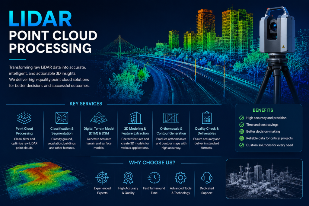
LiDAR Point Cloud Processing transforms raw laser-scanning data into accurate, structured, and actionable 3D information. At GeoSyntra AI, we process LiDAR point clouds for terrain modeling, feature extraction, classification, 3D mapping, and infrastructure analysis. Our solutions help identify ground surfaces, buildings, vegetation, roads, and other features with high precision, supporting applications in surveying, urban planning, forestry, engineering, and environmental monitoring.

At GeoSyntra AI, we combine geospatial expertise, advanced LiDAR processing techniques, and AI-driven workflows to deliver accurate and reliable point cloud solutions. Our focus on data quality, precision, efficiency, and customized outputs helps clients transform complex LiDAR datasets into clear, actionable 3D insights for their projects.
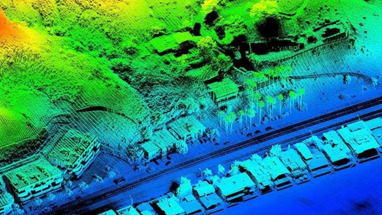
High-Precision Mapping

Generate highly accurate 3D spatial data for detailed mapping and surveying.

Faster Data Analysis

Process large LiDAR datasets efficiently to reduce manual work and project time.

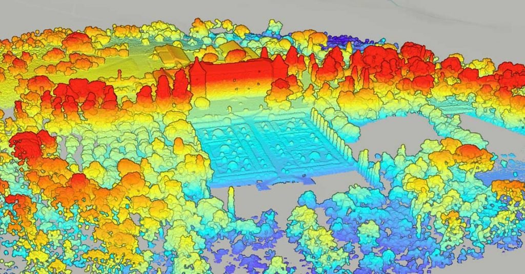
Detailed 3D Insights

Capture terrain, buildings, vegetation, infrastructure, and other features with exceptional detail.

Better Decision-Making

Convert complex point cloud data into useful information for planning, engineering, and analysis.

LiDAR Point Cloud Processing converts raw laser-scanning data into accurate 3D information for mapping, terrain analysis, feature extraction, and visualization.

We can work with commonly used formats such as LAS, LAZ as well as other project-specific point cloud formats.

Yes. We can classify point clouds into ground, buildings, vegetation, roads, water, and other required feature classes.

LiDAR solutions support surveying, construction, urban planning, forestry, transportation, utilities, mining, and environmental monitoring.

Yes. Our workflows are designed to process large and complex LiDAR datasets efficiently while maintaining data quality and accuracy.

GeoSyntra AI is a modern geospatial technology agency specializing in Remote Sensing, GIS, Drone Mapping, Satellite Data Analysis, and AI-powered spatial intelligence. We help businesses, governments, researchers, and environmental organizations transform complex geospatial data into accurate, actionable insights.

+91 84364 18162

24/7 Support for Your Business

Company

Business Hours

Return Policy

Privacy Policy

Terms and Conditions

About Us

Copyright Notice

Company

Payment Methods

Shipping Information

Shipping Options

Shipping Rates

Brief Description

Newsletter

You have been successfully Subscribed! Ops! Something went wrong, please try again.
105/35/A, DUMDUM ROAD, KOLKATA-700074

© 2026 GeoSyntraAI. All Rights Reserved.