24/7 Support for Your Business
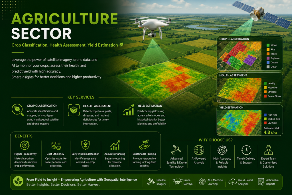
We provide advanced geospatial and remote sensing solutions for smarter, data-driven agriculture. Our services include crop classification, crop health assessment, and yield estimation, using satellite imagery, drone data, GIS, and AI-powered analysis. These solutions help farmers, agribusinesses, and agricultural organizations monitor crop conditions, identify stressed areas, estimate production, optimize resources, and make timely decisions for improved productivity and sustainable farming.
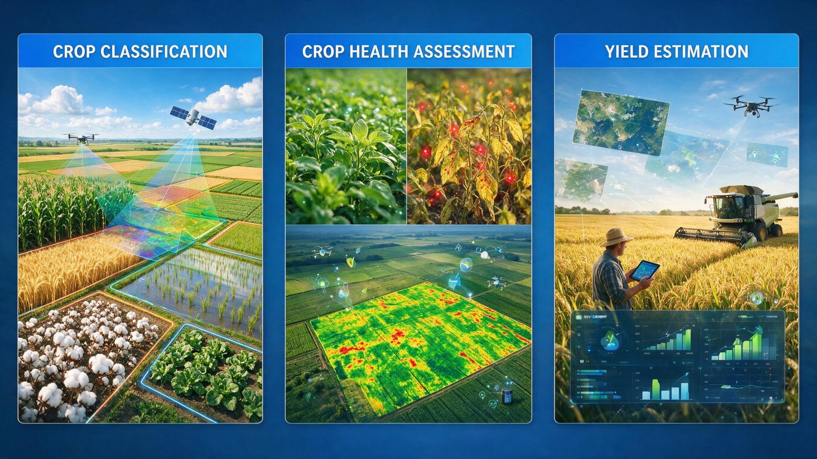
We provide crop classification, crop health assessment, yield estimation, agricultural monitoring, and precision agriculture solutions using remote sensing, GIS, drone imagery, and AI.
We analyze satellite or drone imagery using GIS, spectral information, and AI-based techniques to identify and map different crop types and their spatial distribution.
Yes. We combine remote sensing data, crop conditions, historical information, and other relevant datasets to develop reliable yield estimates for agricultural planning.
Depending on the project, we can work with satellite imagery, drone imagery, GIS data, field observations, weather data, and historical agricultural data.
Our solutions are useful for farmers, agribusinesses, agricultural consultants, researchers, government agencies, and organizations involved in crop and land management.
They provide location-based insights that support early problem detection, efficient resource management, better crop monitoring, improved yield planning, and data-driven decision-making.
Yes. We develop customized workflows based on crop type, geographic region, data availability, project objectives, and client requirements.
GeoSyntra AI is a modern geospatial technology agency specializing in Remote Sensing, GIS, Drone Mapping, Satellite Data Analysis, and AI-powered spatial intelligence. We help businesses, governments, researchers, and environmental organizations transform complex geospatial data into accurate, actionable insights.
24/7 Support for Your Business
© 2026 GeoSyntraAI. All Rights Reserved.

