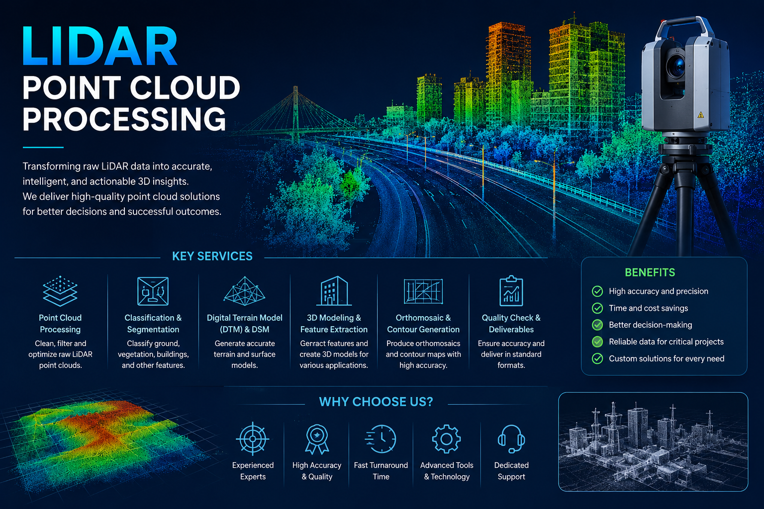
LiDAR Point Cloud Processing transforms raw laser-scanning data into accurate, structured, and actionable 3D information. At GeoSyntra AI, we process LiDAR point clouds for terrain modeling, feature extraction, classification, 3D mapping, and infrastructure analysis.
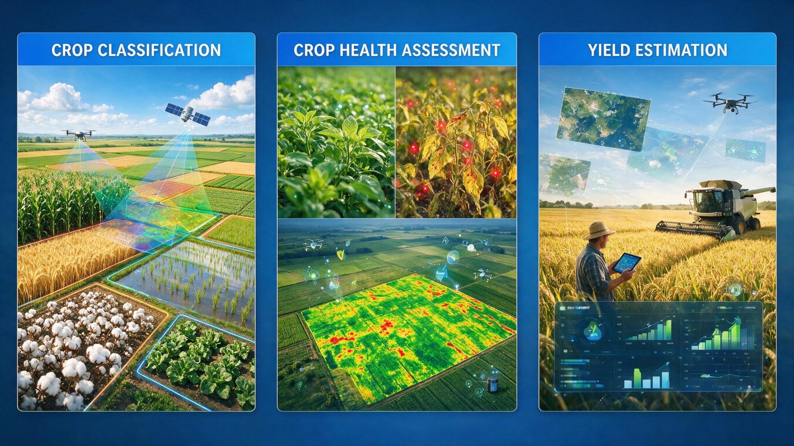
Our Agricultural Analysis services use satellite imagery, drone data, GIS, remote sensing, and AI to provide accurate insights into crop conditions and agricultural landscapes. We analyze crop distribution, vegetation health, field conditions, and yield potential to help farmers.
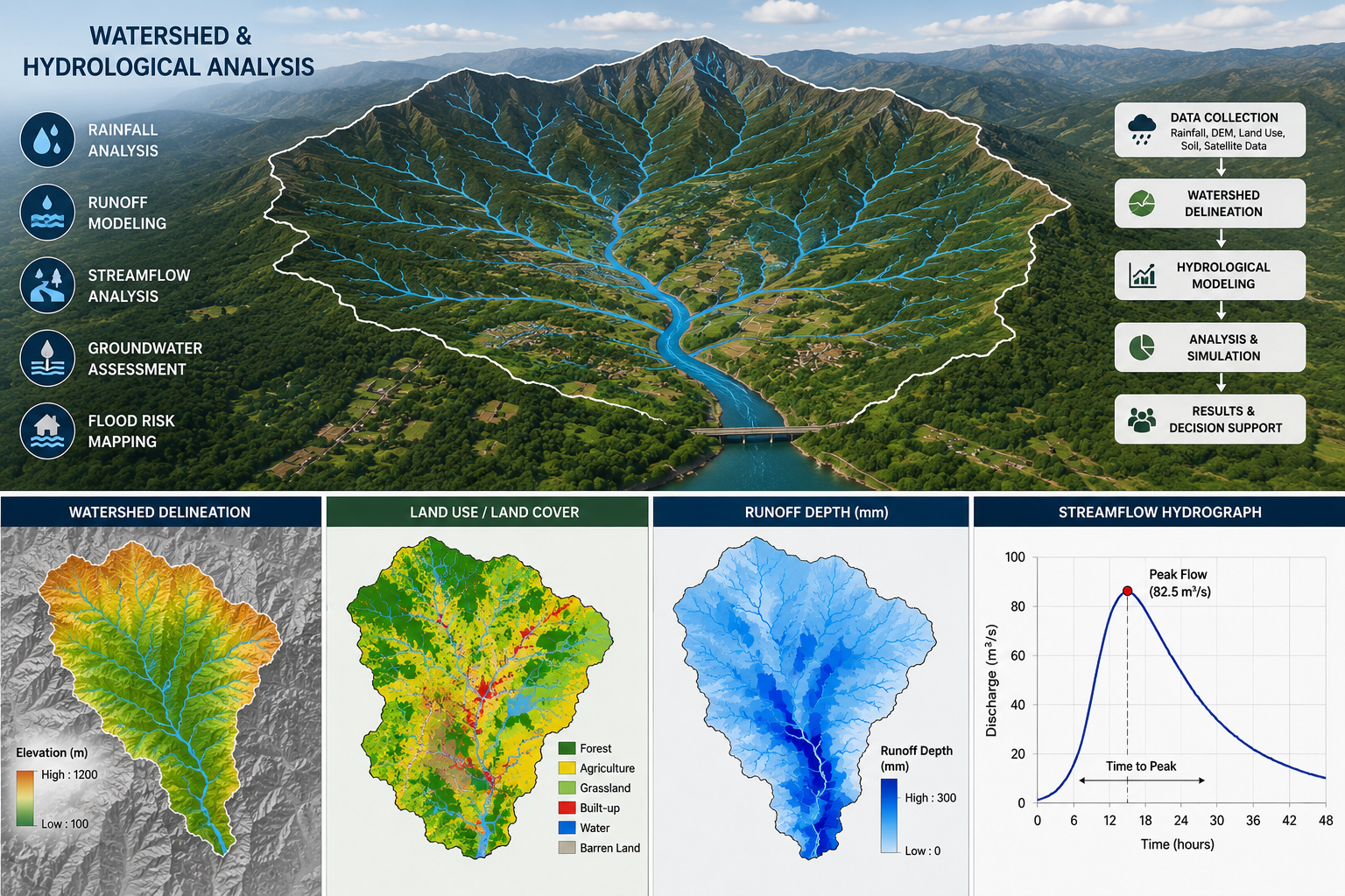
Our Watershed & Hydrological Analysis services combine GIS, remote sensing, and spatial modeling to assess watershed characteristics, drainage networks, water flow, runoff patterns, and flood risks.
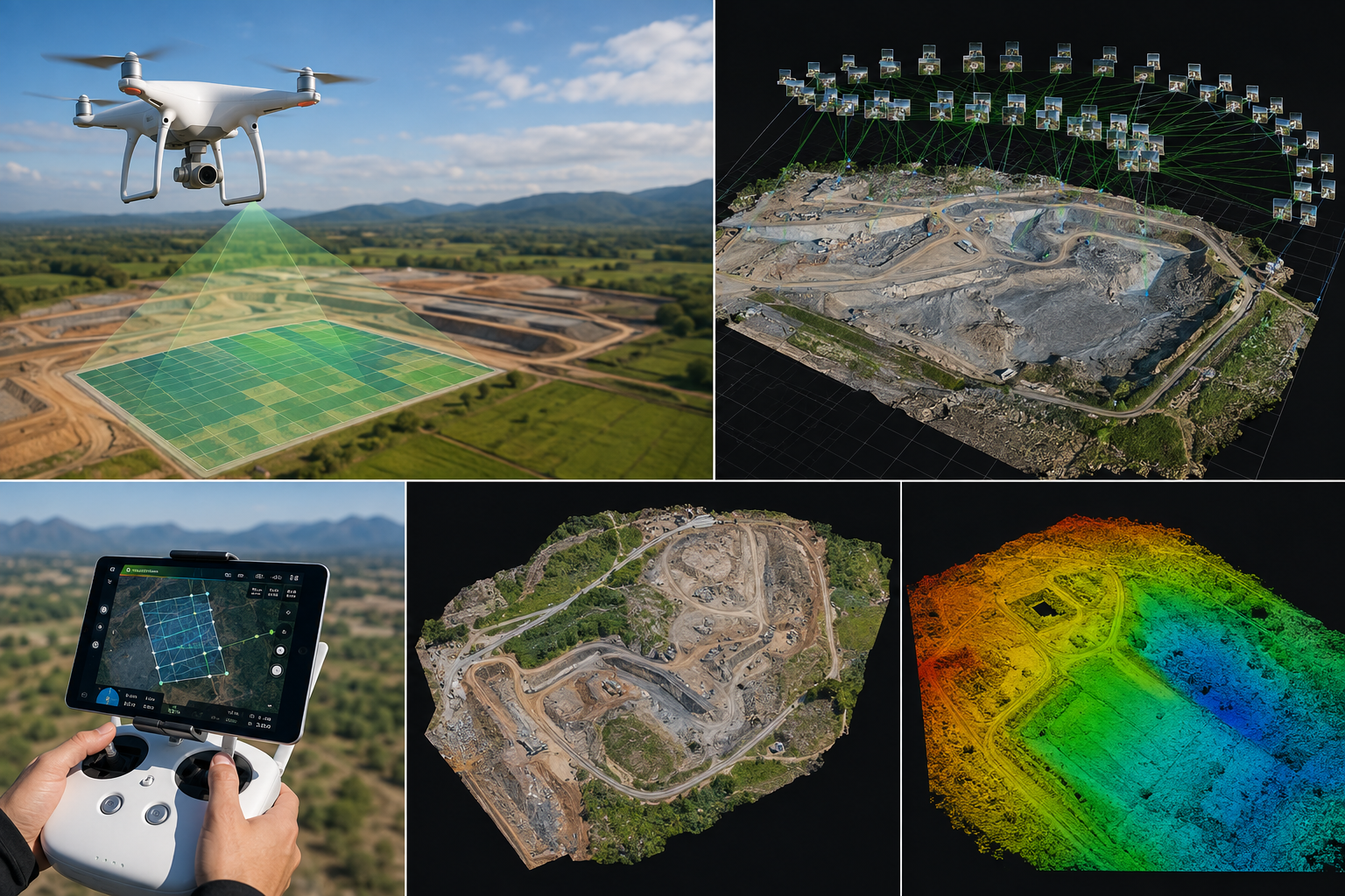
GeoSyntra AI transforms high-resolution drone imagery into accurate orthomosaics, 3D models, and GIS-ready maps. Our solutions support surveying, construction, agriculture, infrastructure, and land management with fast, reliable, and precise aerial mapping.
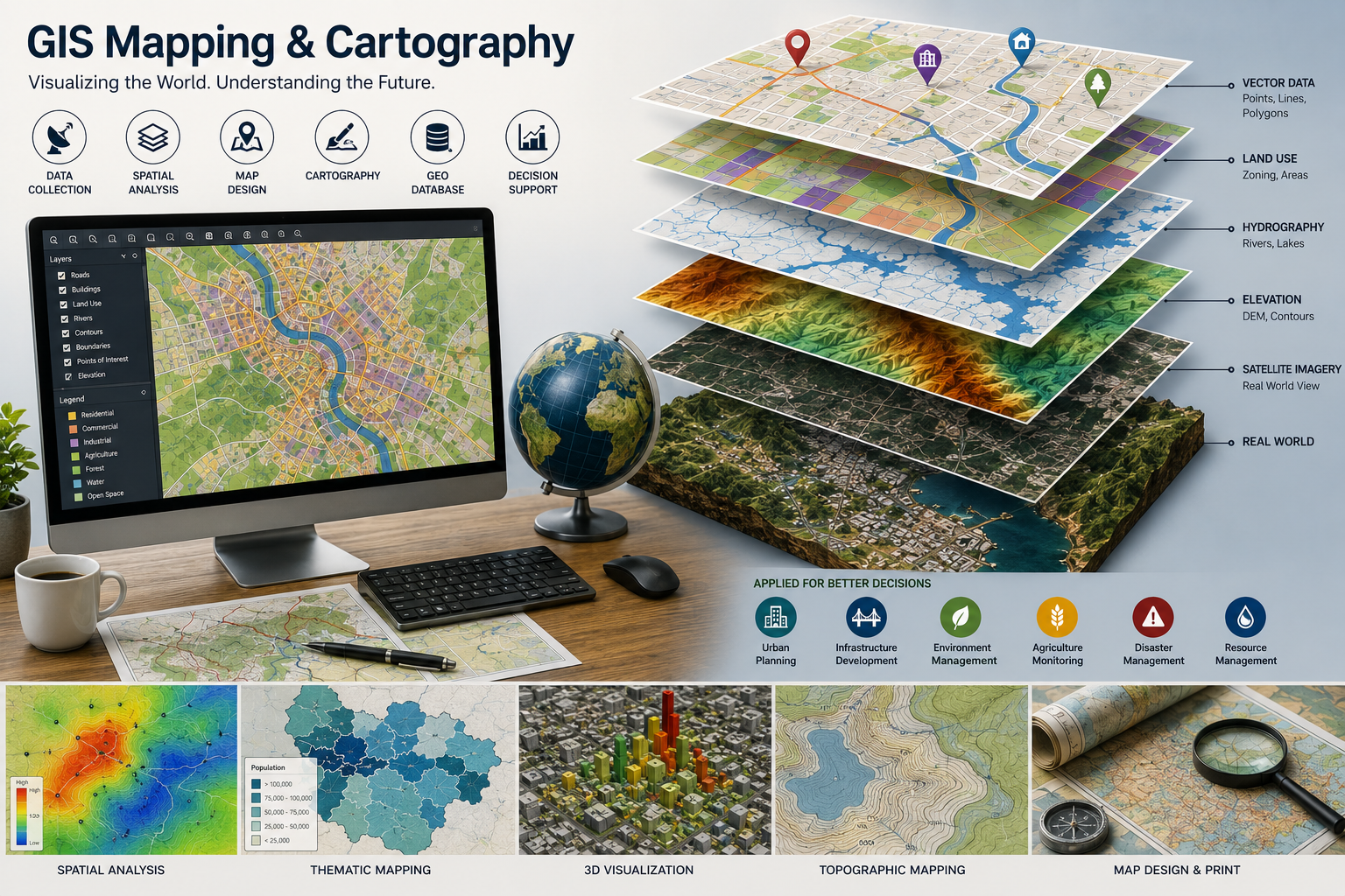
Our GIS Mapping & Cartography services transform spatial data into accurate, clear, and professional maps. We provide customized mapping solutions that help visualize locations, analyze geographic patterns, support planning, and enable smarter, data-driven decisions.
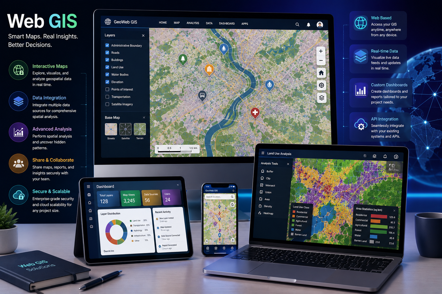
We develop interactive Web GIS solutions that make geospatial data easy to visualize, analyze, and share. Our platforms combine maps, dashboards, spatial data, and real-time information to support smarter decisions across various industries.
GeoSyntra AI is a modern geospatial technology agency specializing in Remote Sensing, GIS, Drone Mapping, Satellite Data Analysis, and AI-powered spatial intelligence. We help businesses, governments, researchers, and environmental organizations transform complex geospatial data into accurate, actionable insights.
24/7 Support for Your Business
© 2026 GeoSyntraAI. All Rights Reserved.

