24/7 Support for Your Business
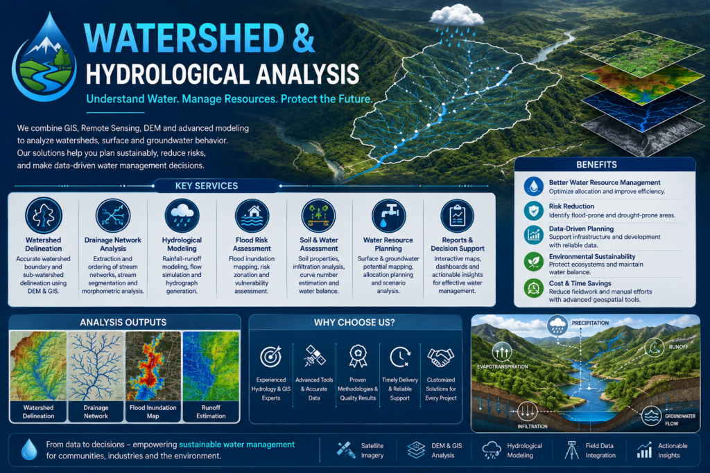
At GeoSyntra AI, we combine GIS, remote sensing, hydrological modeling, and advanced spatial analysis to deliver accurate and actionable watershed insights. Our data-driven approach helps clients understand water movement, assess risks, optimize resources, and make informed decisions for sustainable watershed and environmental management.
Understand water availability, flow patterns, and drainage characteristics for effective planning and sustainable resource management.
Use accurate spatial insights to plan drainage improvement, water conservation, irrigation, and watershed development activities.
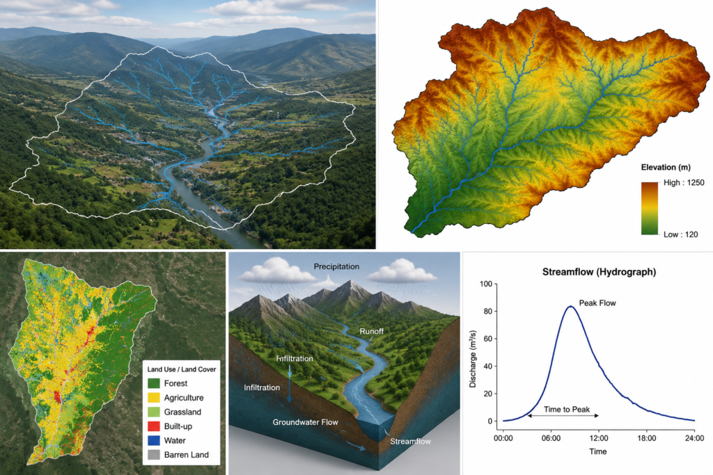
Watershed & Hydrological Analysis uses GIS, remote sensing, terrain, rainfall, and hydrological data to study water flow, drainage patterns, watershed boundaries, runoff, and water resources.
Common inputs include Digital Elevation Models (DEM), rainfall data, satellite imagery, land-use/land-cover data, soil information, drainage networks, and other relevant spatial datasets.
Yes. We can analyze terrain, drainage, rainfall, and hydrological information to identify potential flood-prone and inundation areas.
It helps identify suitable areas for water conservation, rainwater harvesting, groundwater recharge, drainage improvement, irrigation planning, and watershed development.
GeoSyntra AI is a modern geospatial technology agency specializing in Remote Sensing, GIS, Drone Mapping, Satellite Data Analysis, and AI-powered spatial intelligence. We help businesses, governments, researchers, and environmental organizations transform complex geospatial data into accurate, actionable insights.
24/7 Support for Your Business
© 2026 GeoSyntraAI. All Rights Reserved.

