24/7 Support for Your Business
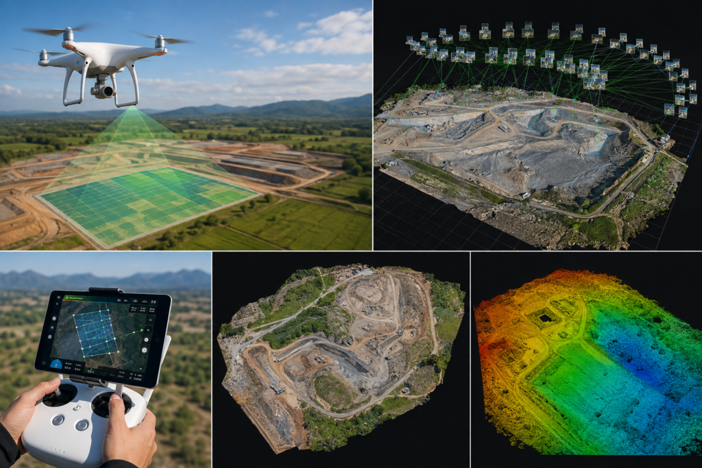
Our Drone Mapping & Orthomosaic Processing services transform high-resolution drone imagery into accurate, georeferenced maps and detailed orthomosaic outputs. Using advanced photogrammetry and GIS techniques, we process aerial data to create precise 2D maps, elevation models, and spatial datasets for surveying, agriculture, construction, infrastructure, land management, and environmental applications. Our solutions help clients visualize terrain, monitor changes, measure areas, and make faster, data-driven decisions.
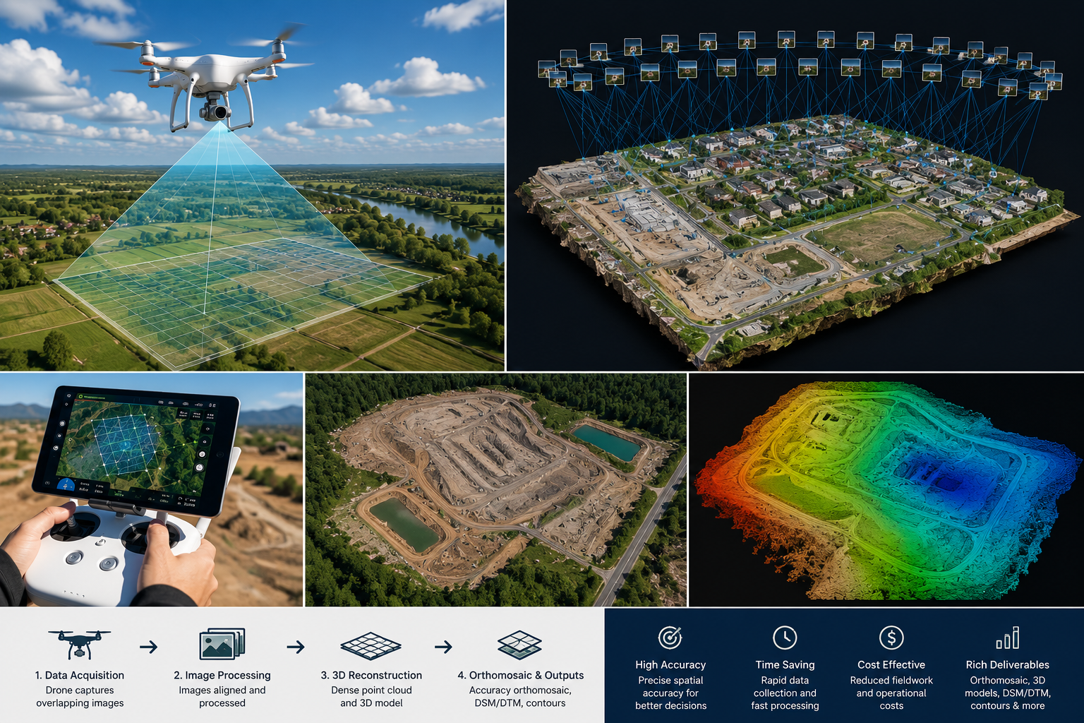
Drone Mapping & Orthomosaic Processing uses aerial drone imagery and photogrammetry techniques to create accurate, georeferenced maps, orthomosaics, 3D models, and elevation datasets.
We can provide orthomosaic maps, Digital Surface Models (DSM), Digital Terrain Models (DTM), point clouds, 3D models, contour maps, and other GIS-ready spatial datasets.
Drone mapping is useful for construction, agriculture, surveying, mining, infrastructure, real estate, environmental monitoring, and land management.
Yes. Processed drone datasets can be integrated into GIS platforms for mapping, spatial analysis, measurement, monitoring, and decision-making.
Yes. Drone-derived datasets can be used to calculate land areas, stockpile volumes, excavation quantities, and other measurable features.
Yes. We customize processing workflows and deliverables according to your project requirements, area, data availability, and intended application.
GeoSyntra AI is a modern geospatial technology agency specializing in Remote Sensing, GIS, Drone Mapping, Satellite Data Analysis, and AI-powered spatial intelligence. We help businesses, governments, researchers, and environmental organizations transform complex geospatial data into accurate, actionable insights.
24/7 Support for Your Business
© 2026 GeoSyntraAI. All Rights Reserved.

